




MMRV for any crop, any land use, anywhere

Measure, monitor, report, and verify field-level emissions reductions and carbon removal anywhere on Earth — with minimal sampling, accessible costs, and low uncertainty.

Get Started
Trusted by
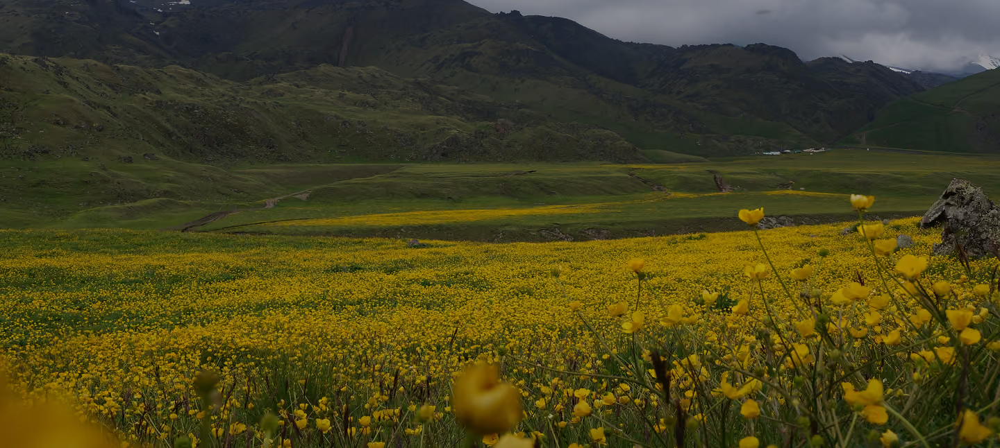
Field of yellow wildflowers in front of mountains

Dense sampling, region-specific models, and rigid approaches make most MMRV hard to scale. Perennial adapts to your projects and provides coverage across your portfolio — while keeping sampling lean and cost-effective.

Scale and streamline, globally

Manage programs across geographies, crops, land-use types, and certifications with a single MMRV solution that scales with you and works anywhere.

Expand to new regions and crops without waiting years for model validation.
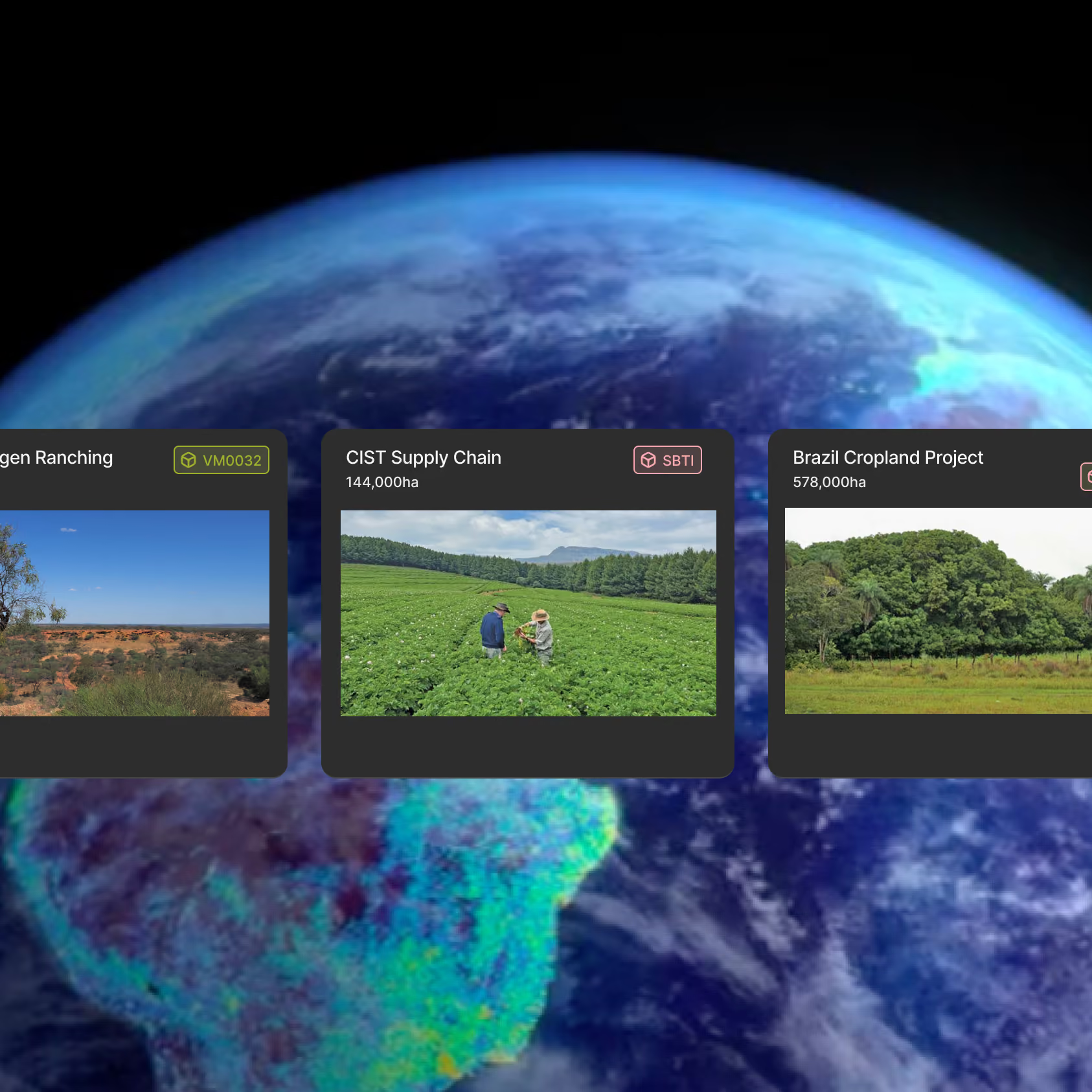
Globe view of Earth with cards showing project fields in regenerative ranching, supply chain and cropland programs
Decorative grid of squares and circlesDecorative circle-in-square patternDecorative dotted square pattern
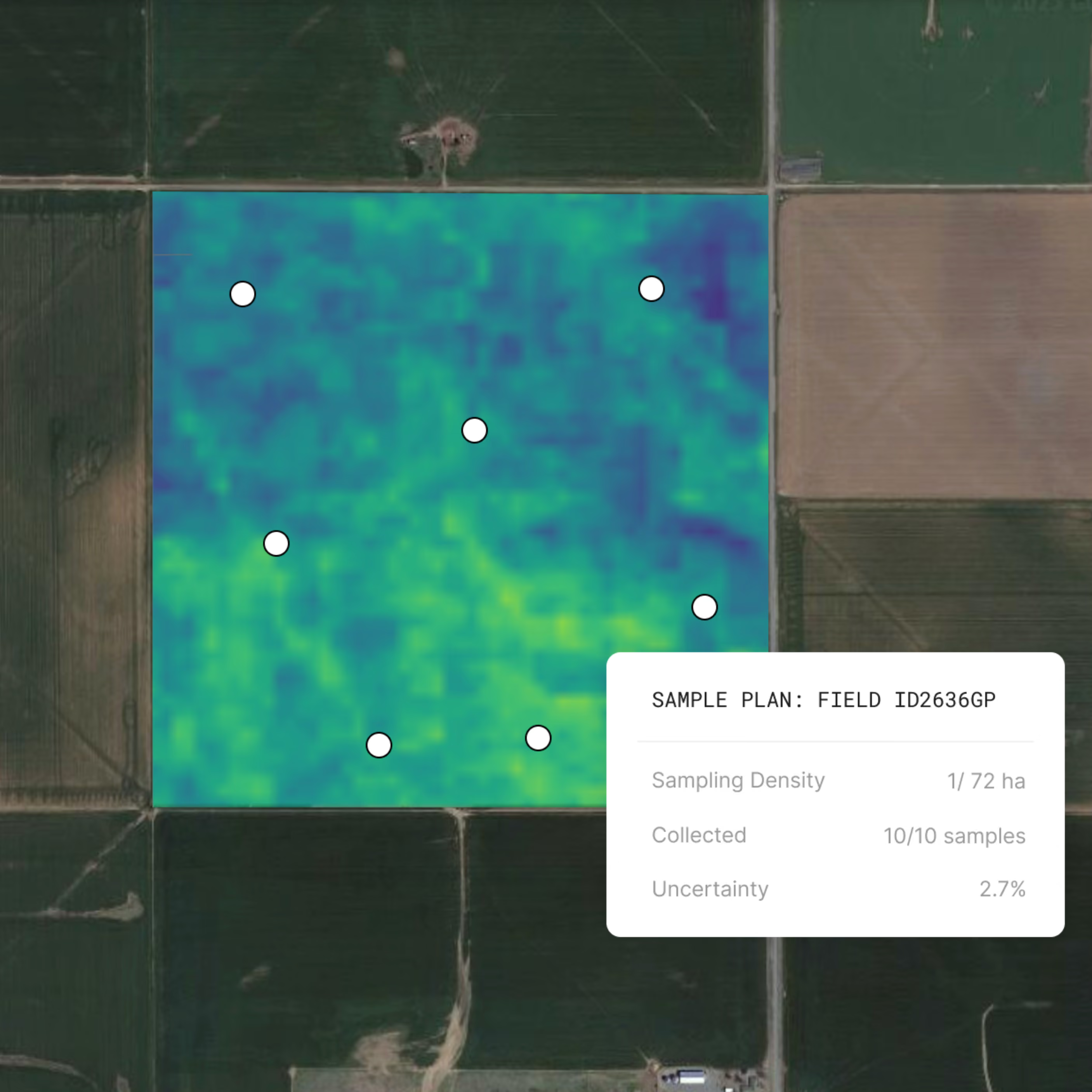
Soil carbon map of a field with sample points and a sample plan card showing 10 of 10 samples collected and 2.7% uncertainty
Decorative circle-in-square patternDecorative dotted square patternDecorative grid of squares and circles

Reduce soil sampling, costs, and uncertainty

Get accurate, registry-approved SOC measurements with light sampling — minimizing costs and disruptions to farmers.
Learn more about the tech behind Perennial →

Align with leading standards and registries

Perennial MMRV was designed to support:
  • Carbon crediting programs under Verra (VM0042, VM0032), Gold Standard, and Australia’s CER
  • Sustainability programs aligned with SBTi FLAG, GHGP LSRG, CSRD, VCI, and Verra Scope 3
  • Custom protocols or internal standards — whether defined by your organization or your downstream partners
Our workflows evolve alongside emerging guidance and can flex to meet internal or partner-specific reporting needs.
align-with-leading-standards
Decorative circle-in-square patternDecorative dotted square patternDecorative grid of squares and circles
Sustainability - Optimize w SOCSPOT
Decorative circle-in-square patternDecorative circle-in-square pattern

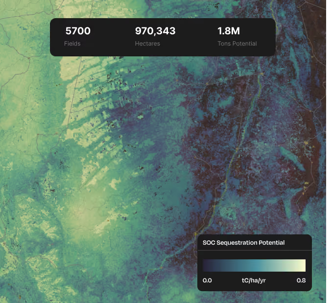
Prioritize high-impact, high-return land

Minimize risk and maximize ROI by scouting for the land with the highest carbon sequestration potential — with acre-level visibility.
  • Choose fields that will respond best to regenerative practices
  • Avoid low-performing fields
  • Maximize carbon credit yield and returns
  • Plan with confidence
Decorative grid of squares and circles

Built for sustainability teams & carbon project developers

Icon of four leaves arranged in a circle, representing sustainability

Scope 3 Solutions

Measure field-level outcomes across your global sourcing portfolio — with a single, scalable solution. Get standards-aligned data without overburdening farmers or overspending on samples.
Learn more
Icon of two nodes connected through a ring, representing carbon

Carbon Markets Solutions

Optimize your carbon projects from planning to issuance. Reduce up-front costs by reducing sampling. Increase returns by prioritizing high-potential land and lowering uncertainty.
Learn more

How it works

approaches
how-it-works_mobile
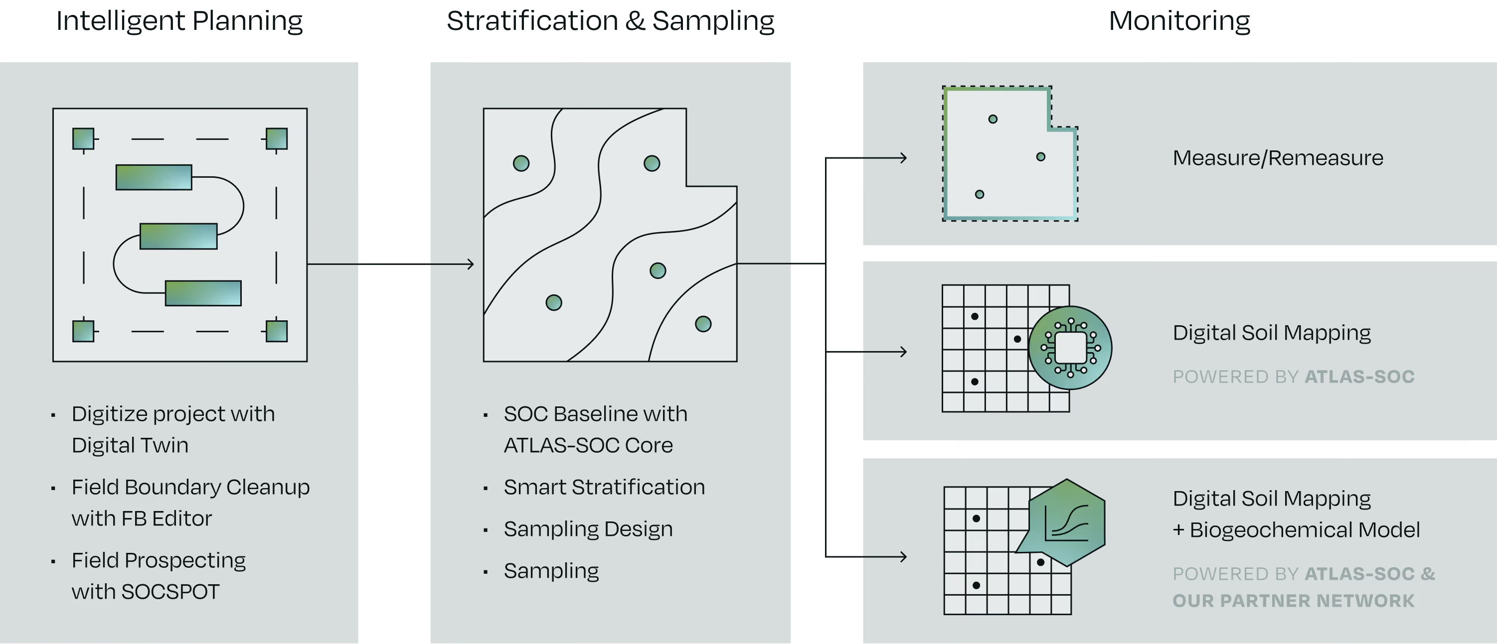
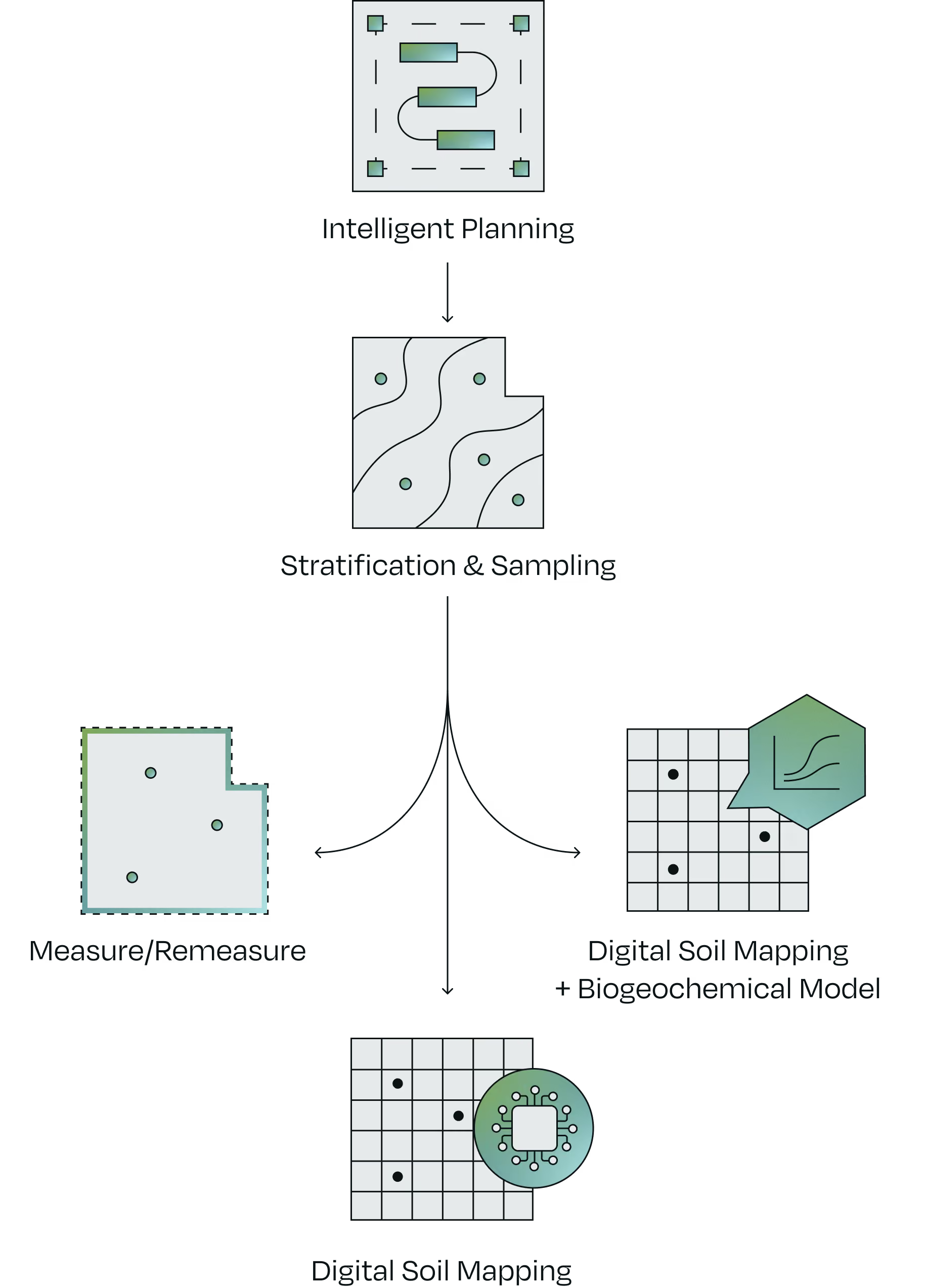
Every project starts with a strong foundation — project digitization, boundary clean-up, prioritization of high-potential fields, smart stratification, and light soil sampling.


From there, we apply the best-fit monitoring approach based on your land, data, and program needs.
Learn more
Decorative circle-in-square patternDecorative dotted square pattern

Earth.
It’s the soil under our feet.

It’s also the most powerful solution we have for reversing climate change. Our vision is to unlock soil as the world’s largest carbon sink. We are building trusted standards, tools, and technologies to help verify climate-smart agriculture at a global scale.
Document page of VCS Program methodologies overview, over an aerial view of a circular crop field

Setting the standard for soil carbon quantification

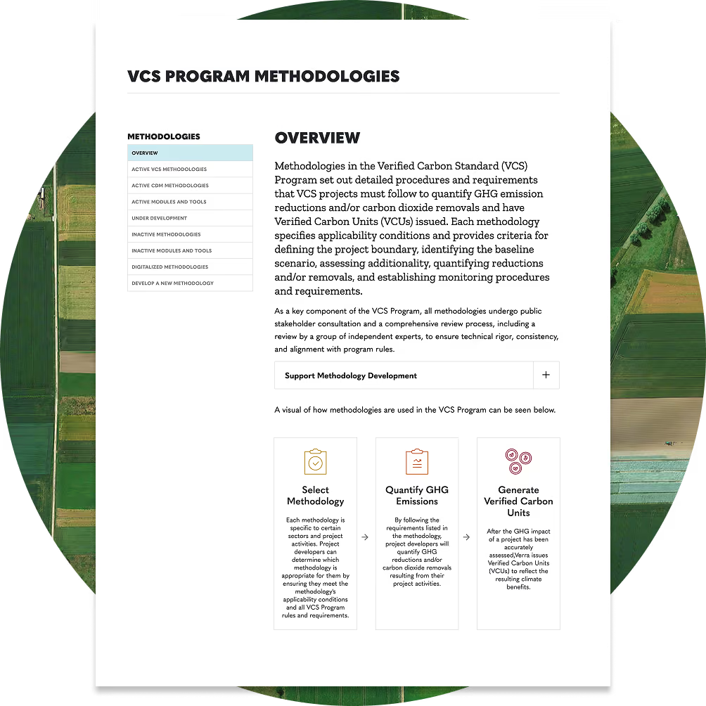
Perennial led the development of VT0014 — the Verra-approved tool for quantifying soil organic carbon using digital soil mapping.
‍
This tool expands access to registry-grade MMRV globally and helps more projects reduce sampling, costs, and uncertainty.
Learn more about the Verra tool →
Improve the reach, accuracy, and costs of your measurements
Streamline your global programs with the most scalable, adaptable, and cost-efficient MMRV solution.
Decorative square with circle
Decorative square with dots
Decorative grid of squares and circles
Introducing VT0014, the new Verra-approved tool for digital soil mapping.
Learn more >Expand or close icon